Hello friends,
this Extension is about:
- Location, Geocoder and GeomagneticField.
- Article about GPS Accuracy: Exploring with the Location Sensor
============================================================
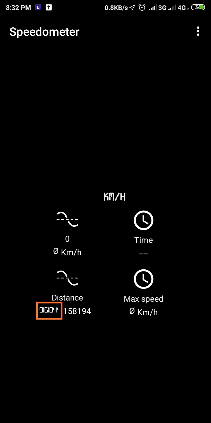
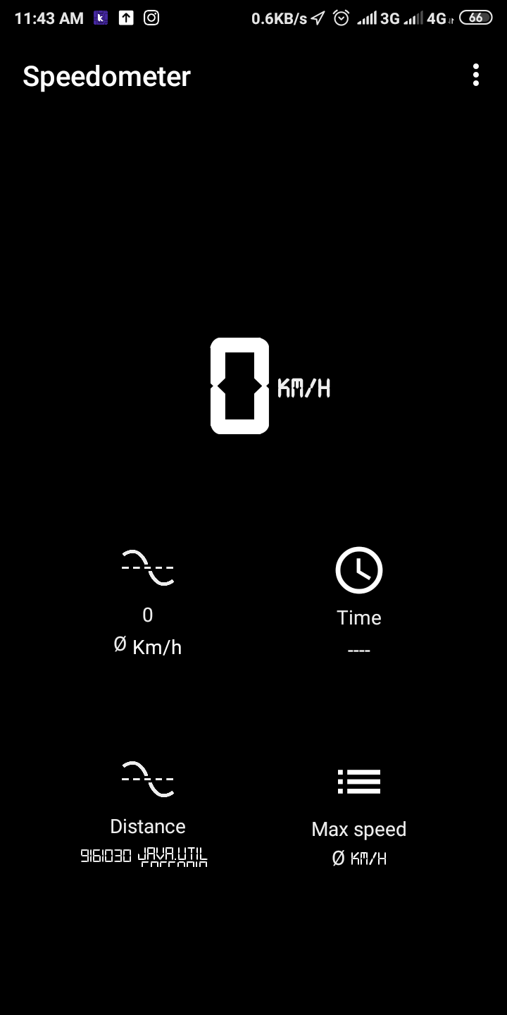
1.- SensorLocation.

- It uses the classes:
In those pages you can find information about:
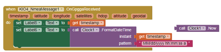
getLatitude, getLongitude, getAltitude, getSpeed (m/s), bearing, bearingTo, distanceTo, getTime and convert.
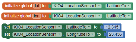
bearingTo and distanceTo refers to the Properties: LatitudeTo and LongitudeTo .
Bearing: Bearing (navigation) - Wikipedia
Bearing online: Distance direction calculating between two location on the planet directly on the map
2.- Geocoder.
Blocks: getFromLocation and getFromLocationName
Gets:
adminArea, countryCode, countryName, feature, locality, phone, postalCode, premises, subAdmin, subLocality, subThoroughfare, thoroughfare, url
- It uses the classes:
https://developer.android.com/reference/android/location/Geocoder
3.- GeomagneticField.
Gets:
declination, fieldStrength, horizontalStrength, inclination, x, y, z
- It uses the classe:
Read:
Earth’s Magnetic North Pole Has Officially Moved (Toward Russia):
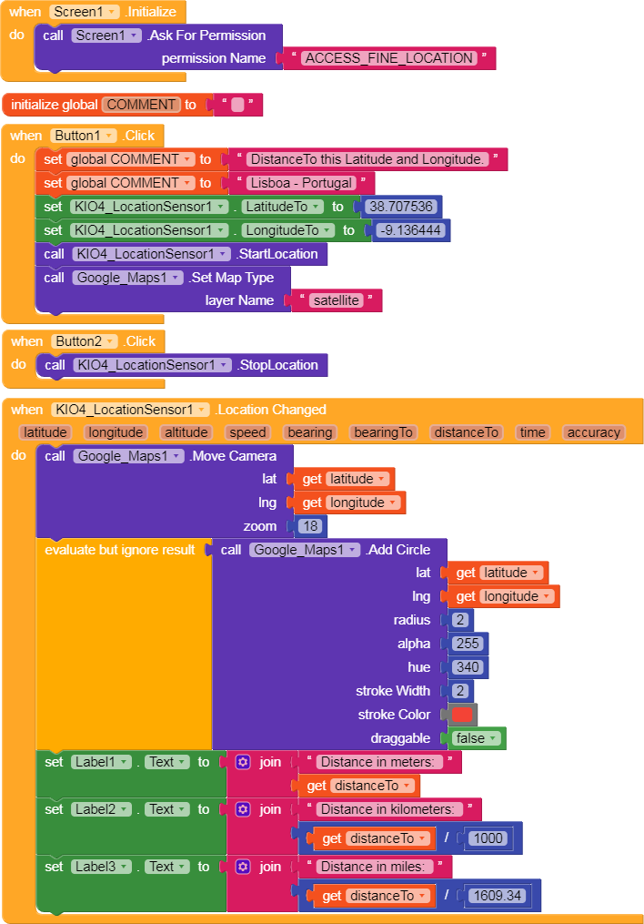
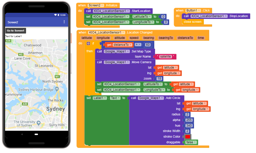
4.- This app uses LocationSensor Extension (black text) and LocationSensor of Kodular (blue text).

On the Map Screen, the coordinates of the red dot are obtained with the Extension and those of the blue dot with Kodular.
p185C_sensorlocalizacion.aia (33.5 KB)
5.- You can also use Google Maps:
185C_sensorlocalizacion_K.aia (33.7 KB)
You can download the com.KIO4_LocationSensor.aix extension of:
http://kio4.com/appinventor/285C_extension_sensor_localizacion.htm
Regards,
Juan Antonio Villalpando.